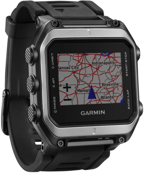
All of Canada, on your computer and in your hand. Great for hiking, climbing, backcountry skiing, paddling; pretty much any activity where you use a topo map.
Load the full disc onto your computer and use its big screen for pre-trip planning and dreaming. Then download the topos for your area of travel to your Garmin GPS, and off you go.
- Disc is not locked, allowing full access to all coverage areas
- Trip and waypoint management functions. Based on digital 1:50,000 or 1:250,000 scale NTS map data
- Search by city, point, river or lake
- Shows amenities such as parks, campgrounds, scenic lookouts and picnic sites, general shorelines and powerlines, named portages, summits, peaks and other geographic points, and many routable roads and trails
- Compatible with eTrex Vista, eTrex Legend HCX, GPSMAP 76S, GPSMAP, Colorado 300, 60CX, GPS 76*, and GPSMAP 76 *. ( * Limited capability: for example, you may not be able to "find nearest marinas" or look up additional text about a specific mapping feature.)


