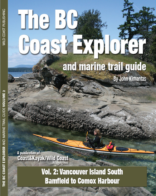
This atlas with over 40 full colour detailed maps covers the Gulf Islands, Desolation Sound and the Discovery Islands, the North Georgia Basin and the North Island Straights. If you want to explore the coast by kayak or boat, by walking or even in an RV, you will be introduced to the local history, natural features and attractions for each area from Cape Scott in the North to Esquimalt in the south. The maps feature hiking trails, wilderness campsites and suggested key wildlife viewing locations. Also included are all the campsites in the area, rest areas, anchorages, private marinas and government wharves. Kayakers will welcome the information on launch points, beach locations, reefs and hazards.


